
Google Maps has evolved into an essential tool for navigating our contemporary world, offering comprehensive directions, real-time traffic updates, and useful insights about diverse destinations. If you’re an Android user aiming to stay ahead of traffic congestion and discover the most efficient routes, here are the steps to view traffic conditions on Google Maps.
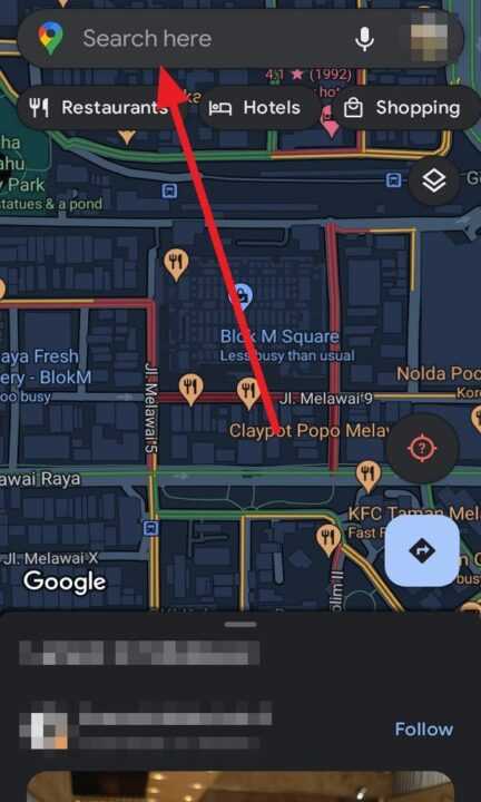
1. First, open the Maps app on your Android.
2. Next, tap on the search bar and type in the name or address of your destination.
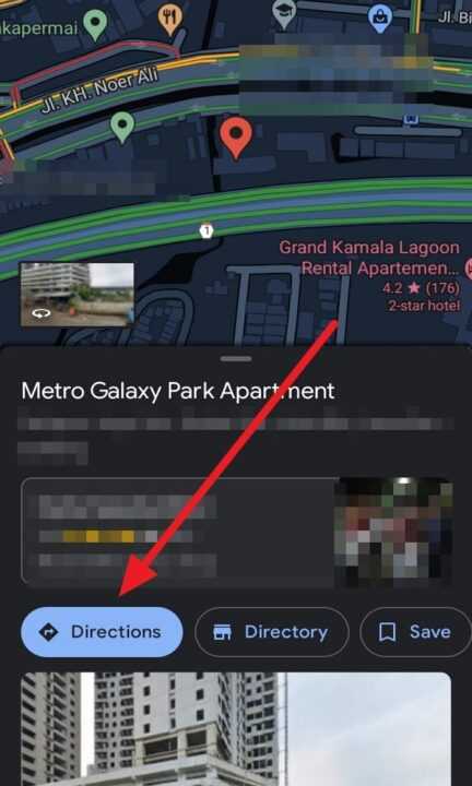
3. Once the destination is shown on the map, simply tap the blue Directions button located at the bottom.
4. And then, tap on the Choose start location bar and type your current location.
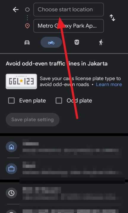
5. Before you proceed, select your preferred mode of transportation. You can choose from options like driving, walking, public transit, or biking.
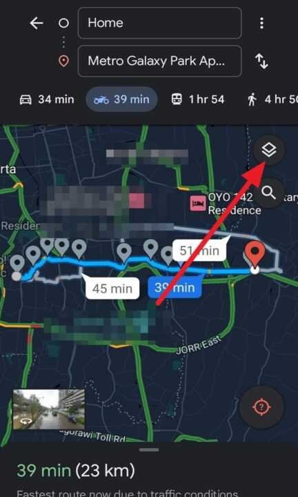
6. After selecting your mode of transportation, tap on the traffic symbol situated in the top right corner.
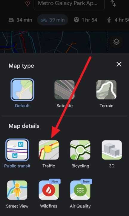
7. Next, select Traffic on the Map details.
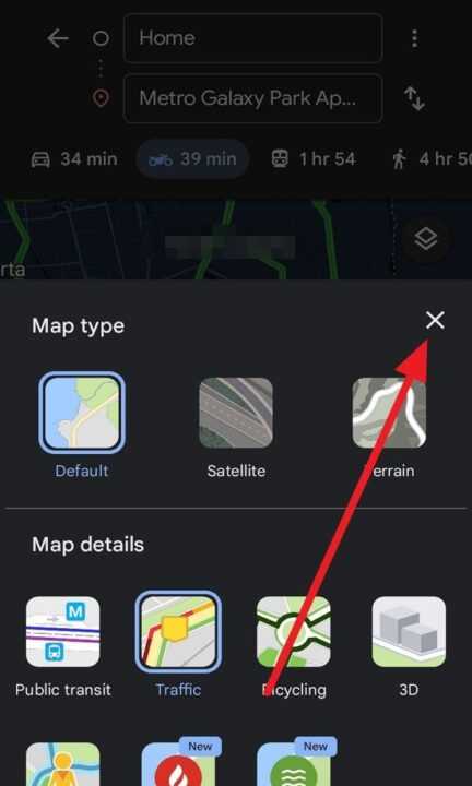
8. And then, tap the X symbol to see your destination traffic.
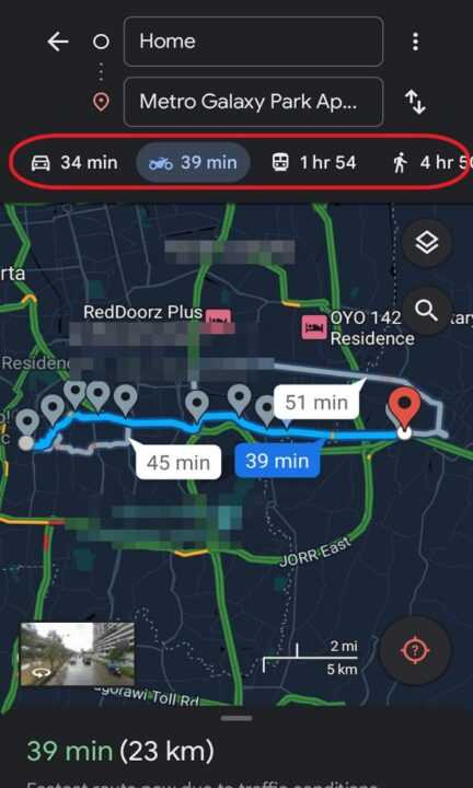
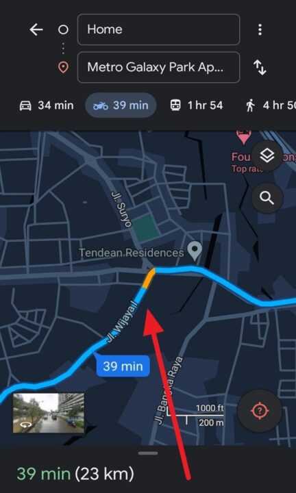
9. Lastly, you will see Google Maps uses color coding to represent traffic conditions. Green indicates smooth traffic flow, yellow signifies moderate congestion, and red indicates heavy traffic. You may also encounter dark red, which indicates standstill traffic.
By following these straightforward steps, you can effortlessly access real-time traffic updates on Google Maps for Android. This functionality empowers you to make well-informed decisions regarding your route and aids you in maneuvering around traffic congestion, ultimately saving you time and alleviating frustration during your journeys.
Leave a Reply