Google Maps is an incredibly useful navigation app that most people have on their phones. One of its best features is Street View, which gives you an immersive, street-level view of locations around the world. Checking out a destination on Street View before you visit is a great way to familiarize yourself with the area.
Street View can be accessed easily on both Android and iOS devices through the Google Maps app. Here is a step-by-step guide to get you to Street View and start virtually exploring places.
Steps to Get to Street View on Google Maps
1. To start, simply open the Google Maps app on your phone. Make sure you have the latest version installed for the best experience.
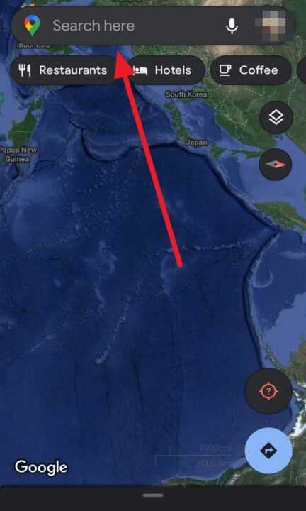
2. Next, search for the area you want to view in the search bar at the top of the app. You can enter an address, business name, city, or other location. After you search, Google Maps will display the area on the map.

3. At the bottom left corner of the app, you’ll see a small photo icon. Tap this icon to enter Street View.

If the location has Street View available, you will instantly be transported to a street-level view of the area. You can identify spots with Street View by looking for blue lines on roads and blue dots on buildings.
4. To move within Street View, simply swipe in the direction you want to walk or drive. You’ll see arrows on the ground showing potential paths. Tap the screen to move forward. You can also zoom in and out with two-finger pinches.
5. To exit Street View, tap the map icon in the bottom right corner. This will take you back to the standard map overview.
Conclusion
Accessing Street View in the Google Maps app only takes a few quick taps. With an immersive street-level view, you can explore destinations from the comfort of your phone before visiting in person. Check out restaurants, hotels, parks, and neighborhoods to get your bearings and preview the sights. Street View makes trip planning, commuting, exploring, and more much easier. Give it a try next time you use Google Maps!

Leave a Reply